Vaughan, Ontario, CANADA – January 30, 2024 – Teledyne Geospatial will exhibit the latest hardware and software solutions in lidar survey and mapping at Geo Week, being held in Denver, CO, February 11-13, 2024.
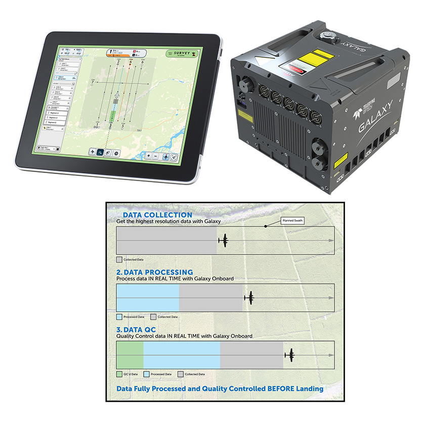
Join us at booth #517 for a first-hand look at the Galaxy Onboard, a unique productivity solution for airborne mapping, capable of delivering real time point cloud and real time quality control reporting. This game changing solution saves 60% of re-flight cost and supports time-sensitive applications that require real-time data. The compact Optech Galaxy T2000, suitable for crewed fixed-wing aircraft or helicopters, will be on display in an innovative helicopter mount with 4 nadir and oblique cameras.
Also showcased will be Teledyne Geospatial’s Optech CLS-A solution for collecting engineering-grade geospatial point clouds from UAV or helicopter platforms.
Find out more about the CZMIL SuperNova topo/bathy lidar system. Equipped with the most powerful green laser on the market, Supernova provides maximum depth penetration and superior coverage in turbid waters. Experts will be on hand to share success stories from our USACE, USGS and NOAA contracts.
Teledyne Geospatial is joined by Teledyne FLIR IIS, with their field proven Ladybug6 spherical imaging camera, which delivers high quality 360-degree images with spatial accuracy of +/- 2 mm at 10-meter distance.
Presentations by Teledyne:
Teledyne Geospatial unifies the hardware and software expertise of Teledyne CARIS and Teledyne Optech. The group provides customers with innovative integrated solutions. Offerings include turnkey systems, lidar and sonar integrated workflows and a range of systems and solutions that support holistic, precision data collection.
For media enquiries, please contact:
Jennifer Parham
[email protected]

Optech Galaxy Onboard delivers quality-controlled processed data in real time.