
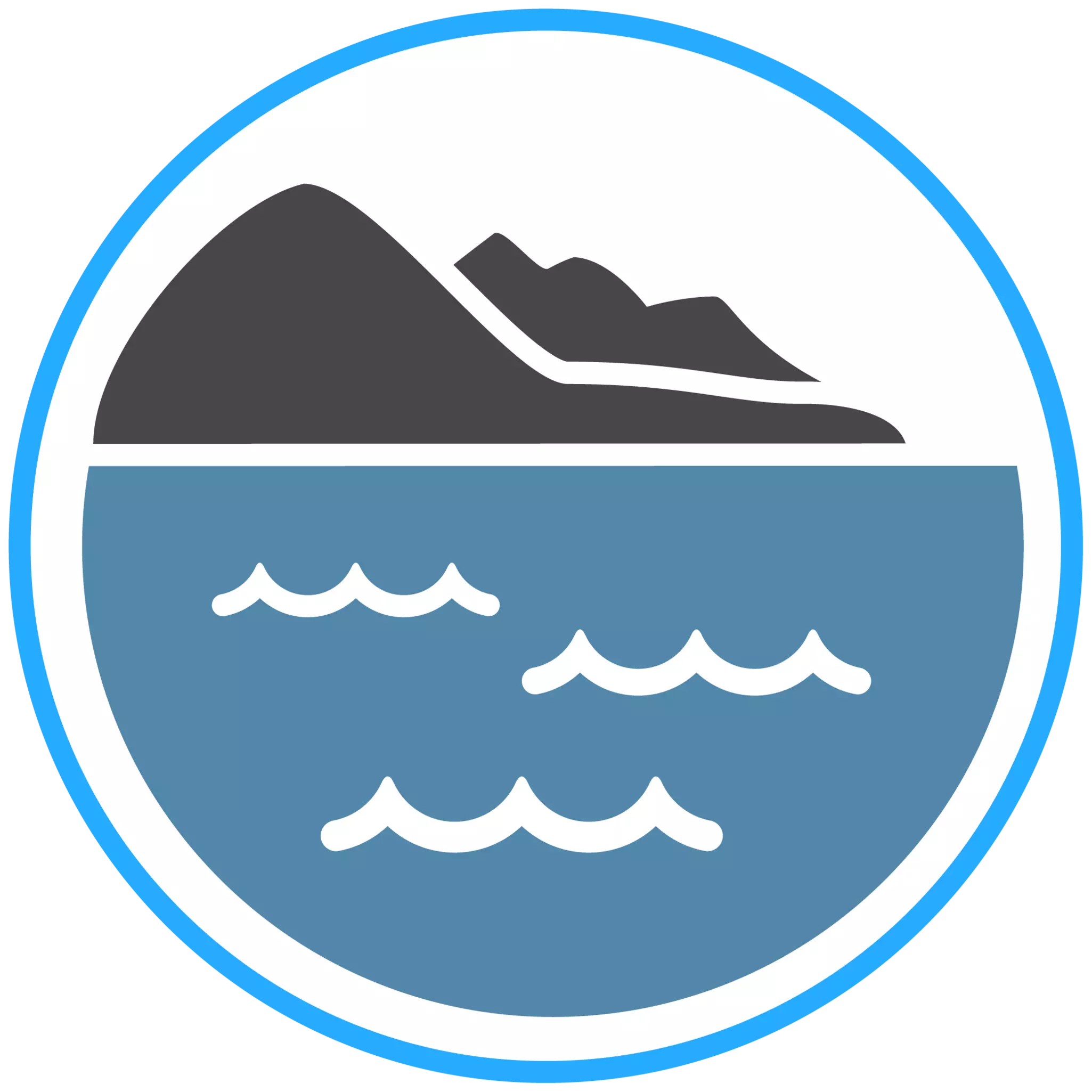
The world's fastest, most intuitive aerial topo-bathy coastal mapping solution. Featuring real-time QC and fast post-processing.

Fathom overcomes common challenges related to the cost and technical complexity of topo-bathymetric surveys by leveraging Optech's advancements in sensor miniaturization, real-time processing, and production workflow acceleration.
Fathom was developed in response to feedback from government and engineering organizations identifying that crucial geospatial data is missing for the management of resources and infrastructure on land, intertidal zone, and seafloor.
Teledyne OPTECH'S Fathom system uses airborne topo-bathy lidar to efficiently map underwater and coastal terrains, providing real-time data processing and comprehensive coverage in a single flight. Watch the video to learn more.
1 - Topographic Lidar
High resolution for building, vegetation and terrain models with up to 2 million measurement/second and a coverage rate of up to 225 km2/hr.
2 - Bathymetric Lidar
Accurate water surface detection and robust underwater mapping in varying water conditions.
3 - Multispectral Camera
Built-in 120 megapixel camera delivering RGB and infrared imagery for complete basemaps and shoreline digitization.

Use Fathom for land applications, and complement your existing operations with marine capability. Fathom meets the established standards for topographic density, precision and accuracy.
Map the gap between land and water. Complement acoustic surveys by delivering detailed data over the coast. Fathom meets IHO Special Order standard, and delivers data 45x more productively in the intertidal zone. Access remote and shallow project areas, safely and at a fast coverage rate of 50km2/hr.
From a single instrument deliver crisp imagery for orthomosaics, 3D models, colorized point clouds and vectors. Complement imagery projects with critical 3D information for accurate hydrologic models.
Comprehensive data integration of topo lidar, bathy lidar, and a multispectral camera capturing the complete coastal scene—from dry land to below water.
Optimized for smaller aircraft, requiring only a two-person team for installation and operation. Natively gyro stabilized to reduce sidelap and flight costs.
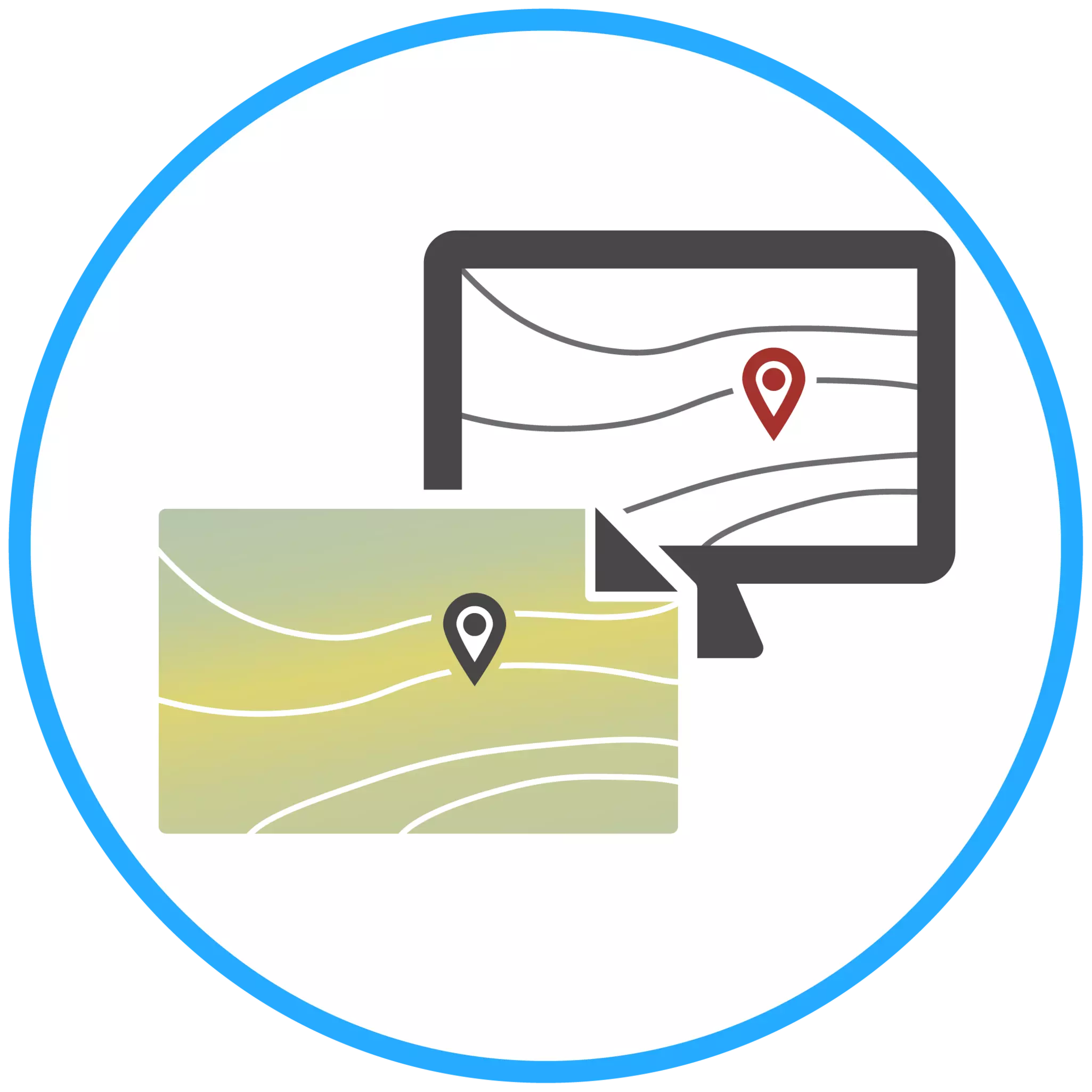
Leverage real-time quality control and a modern interface to facilitate data collection and accelerate data acceptance.
Accelerate data processing using a modern interface and automated routines to convert raw data to point clouds, images, grids and navigation charts.

Complete the sign-up form and download the Fathom datasheet.
Search for your nearest Teledyne OPTECH office location.
Contact our dedicated ream of technical support specialists anywhere, any time.
Contact sales and request further information about Teledyne OPTECH products and solutions.